
Mapping tool for Bike and Pedestrians announced
Do you ride a bike to get to work? Walk to school?
Are you looking for a new place to go jogging?
Do you want to highlight missing features or suggest new projects?
We have just the tool for you! Our new BikePed Web Map is now available online here.
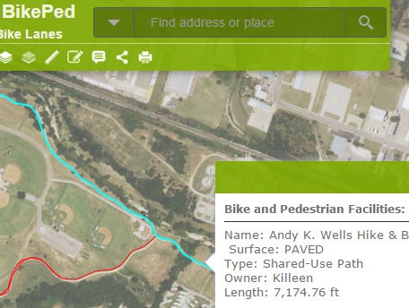
Look up an address in the search box and see if there are trails, parks, or bike lanes near your home, school, or workplace. Use the location feature on your phone to help you navigate hiking trails in one of our many parks.
You can help us expand our knowledge base by using the edit tool to draw in the Public Input layers . Tell us know if there’s a feature, like a sidewalk or bike lane, that isn’t on our map, or if you’d like to see a bike lane added in the future. Please include descriptions and comments explaining why a particular trail, sidewalk, or bike lane is important to you. The information you share will either be incorporated into the current layers, or will be presented to city planners as suggestions for new projects.
Learn more about our Bike and Pedestrian Advisory Committee.
If you would like to leave us a longer comment, or to offer feedback on the function of the web mapping tools, please use our comment form.
Leave a reply